Elaho Valley - Saturday July 10

E

e-town

Guest
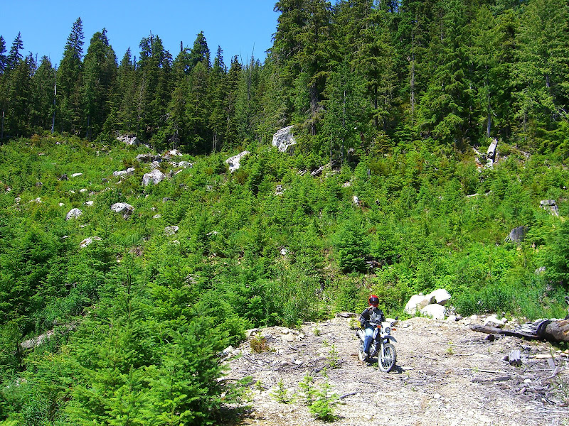
So I keep hearing a rumor of a road connecting the Elaho valley with the Lillooet FSR. I was up there alone last week and turned back at about mile 55 when I met the biggest black bear I've ever seen in my life. I'd like to go back this week and see if I can find a connector. Is anyone interested in joining in?

I was thinking 9am at the church.
 

Randaroo

Member
Elaho to Lilloette
300m up and down and about 13 kms of portage, three gates and Capricorn Creek blowout on the meager side.
Yaaaaa, not goping to happen.
There is a trail/route but that is hiking only.
In the (very)distant future a powerline could run through there but they seem to be using less and less roads to construct and maintain...
 

Jeckyll

Member
Elaho to Lilloette
300m up and down and about 13 kms of portage, three gates and Capricorn Creek blowout on the meager side.
<snip> ...

Sound perfect for a nice light bike like a KLR ;)

e-town: It does branch out in the back (I'm thinking around 62).

We've explored a bunch but keep ending in spots like this:
CIMG5489.JPG
 
E

e-town

Guest
Sound perfect for a nice light bike like a KLR ;)

e-town: It does branch out in the back (I'm thinking around 62).

We've explored a bunch but keep ending in spots like this:

Well I'm going up anyway.
Jeckyll - do you have gps tracks of where you've been? Or are you up for a ride?
 

Jeckyll

Member
e-town: I am up for a ride, I'm not sure if I can make Saturday. I think on KLR's we should be on gas going way back ;) I have a couple of other guys in mind that would probably want to join us and my try to plan a ride for next weekend to see if they'd also want to come. (non-KLR's they'd probably need a couple of 5 l jerry cans just in case)

Didn't have a GPS last time I went in there, but will take mine for the next time to try and help map out some of the dead ends.

CIMG5490.JPG


:)
 
E

e-town

Guest
Well, I went up with North today. Great ride, and we only broke the BMW. I still can't believe how well you can ride that battleship.
We did a minor bit of exploring, but damn it's hard to fight through some of those trails after the long ride up. I brought a gps with me so I have a few dead ends mapped out. Jeckyll, you are right, you do end up in a lot of spots that look like this:
elaho.jpg
 

North

Active member
e-town and I had a great ride and it was a beautiful day too!

I would like to find the Gaint Elano tree again through. I was up here 2 years ago but I can't remember just were it is.


<a href="http://s622.photobucket.com/albums/tt302/RickNorth/?action=view&current=2010_0709jElchoride_2010_MSVS000-1.jpg" target="_blank"><img src="http://i622.photobucket.com/albums/tt302/RickNorth/2010_0709jElchoride_2010_MSVS000-1.jpg" border="0" alt="The road to the Elaho Giant"></a>


Attachments

  • ride.jpg
    ride.jpg
    70.6 KB · Views: 0
Last edited:

aheath73

New member
This thread sums up my biggest frustration with living in the Sea to Sky corridor...Lots of out and back logging roads, but none of them connect to anywhere else! All those pesky mountains keep getting in the way!!!

And just think...this is my biggest problem...poor me, hey?
 

spud99

New member
e-town: I am up for a ride, I'm not sure if I can make Saturday. I think on KLR's we should be on gas going way back ;) I have a couple of other guys in mind that would probably want to join us and my try to plan a ride for next weekend to see if they'd also want to come. (non-KLR's they'd probably need a couple of 5 l jerry cans just in case)

Didn't have a GPS last time I went in there, but will take mine for the next time to try and help map out some of the dead ends.

CIMG5490.JPG


:)
I took a GPS with us that day. I'll post the trip when I get back to the GPS in a couple of weeks.
 
Top